slackmeyer
Well-known member
Prologue:
Ever since I started really riding- 5 years ago or so, when I started riding up to washington state (and my hometown) every year, and other long-ish rides, I've been scheming with a longtime friend about riding to alaska. Ok, it wasn't actually scheming, it was fantasy. We'd see each other once or twice a year, and the conversation would go as follows.
Me: We should ride to Alaska this summer!
Him: Yeah! That would be cool!
A couple snags existed- he knew how to ride, but his only bike was a 50cc chinese scooter. He has a 1 year old son now, too. And I don't think he had ever done a ride over 100 miles long. Just little things, they didn't get in our way.
So this last winter, when we had our normal Alaska conversation, I mentioned that I had two motorcycles at the moment: my trusty KTM 950 adventure, and a KTM 640 enduro that I had just rebuilt, and not put very many miles on. He quickly figured out that he could spare 2-3 weeks that summer, and the wheels were set in motion.
In June, I rode my 640 up to Washington, leaving Rusty a month to get used to it.

That was about the longest ride I had taken the 640 on, and it did great- comfortable, fairly fast, and it got 55mpg.
I left Rusty a packing list and flew home. He didn't have a ton of time to ride in the intervening month, but he got in a 300 mile ride and some other shorter rides, and bought new tires and brake pads.
So on July 8-9th, I rode up to Washington, changed my oil, helped Rusty change tires and brakepads, sorted our gear, and got ready to ride to Alaska.
July 10:
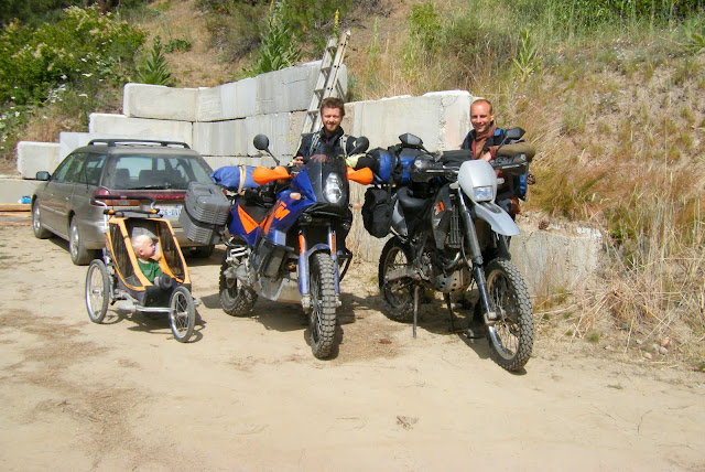
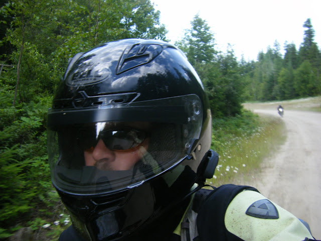
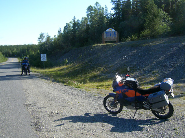
(Milo, on the far left, was originally going to come-- however, after only 50 miles, it was decided that his machinery was just not up to snuff for highway speeds, and furthermore, the drivers license he had shown us was just a Kix proof of purchase. He was sent home.)
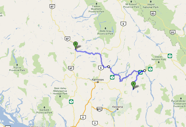
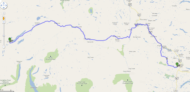
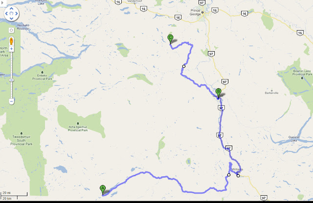
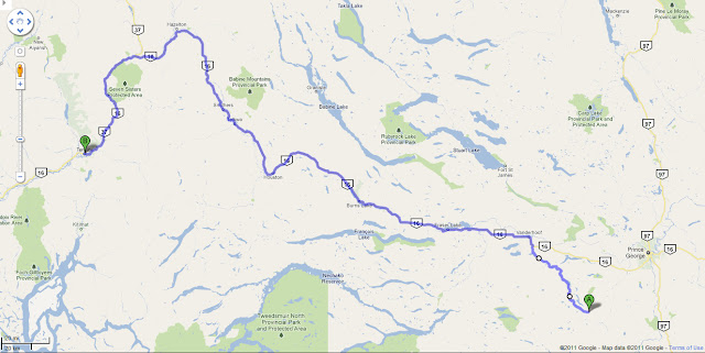
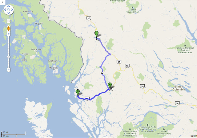
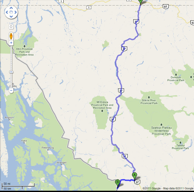
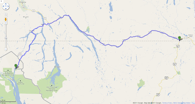
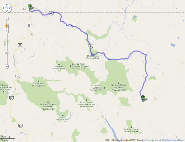
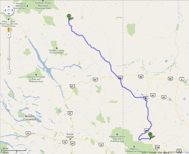
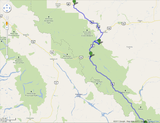
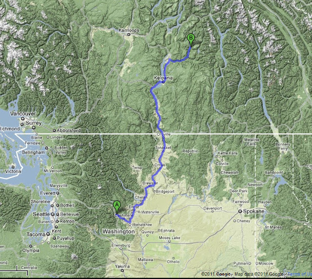
Our route for the day, Leavenworth WA to Mabel lake, park, BC.
Customs at Osoyoos, where it was hot and dry- the last we'd have of that for a while:

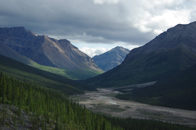
The Summerland-Kelowna area is really nice- kind of the napa valley of Canada, lots of grapes and fruit trees, and lots of people around enjoying the sunshine and the lakes. Not that I took any pictures of that, I just thought you should know.
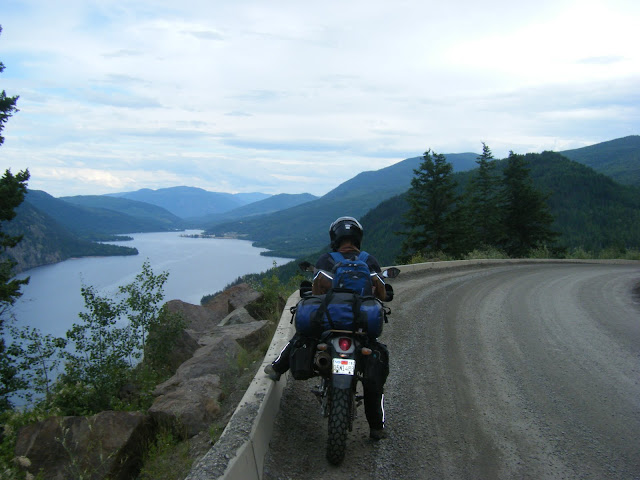
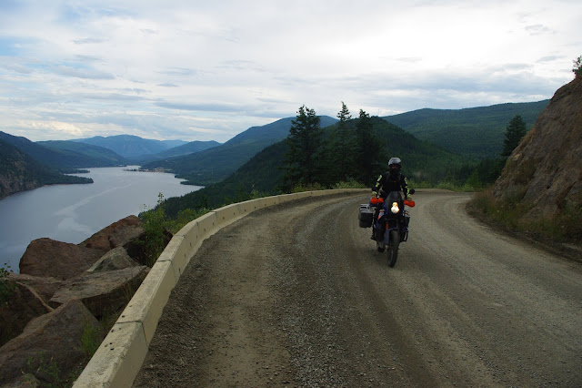
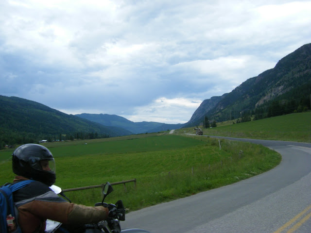
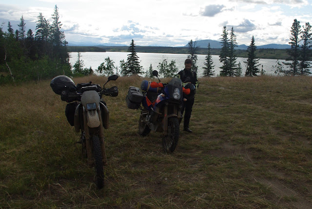
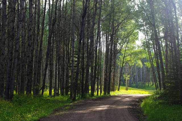
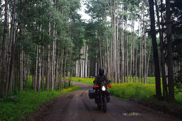
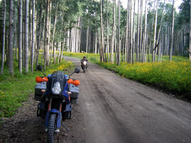
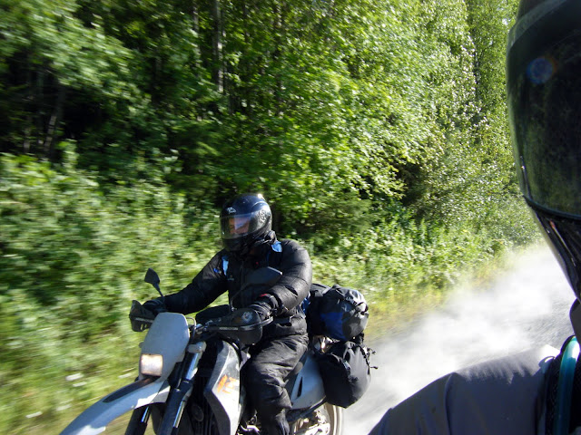
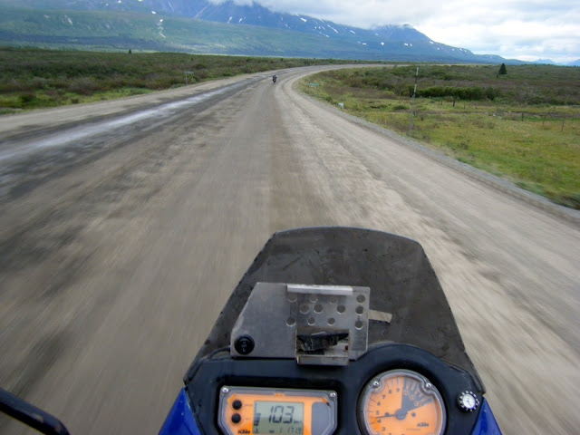
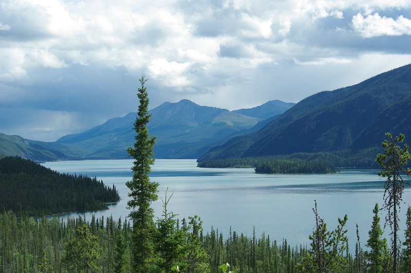
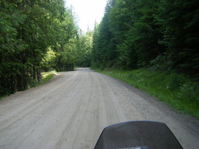
On the gravel, heading out to Mabel Lake Provincial Park:
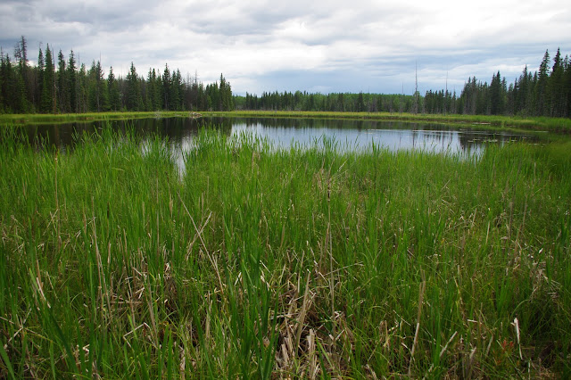
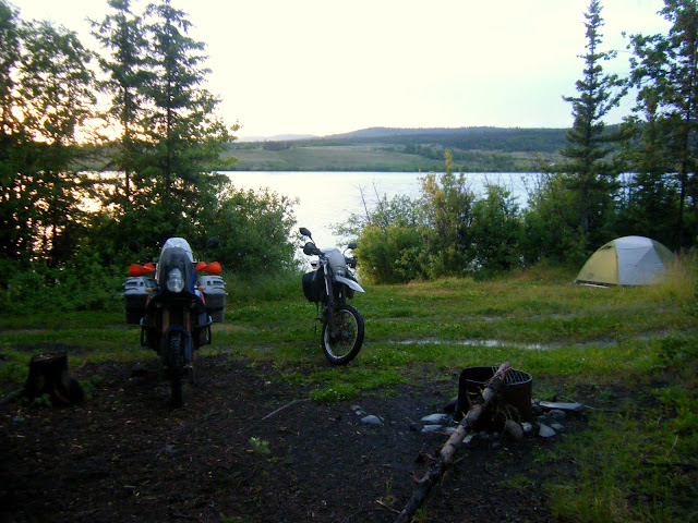
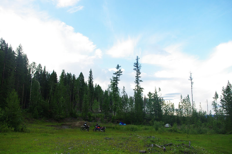
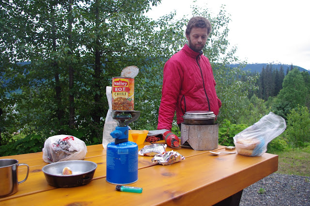
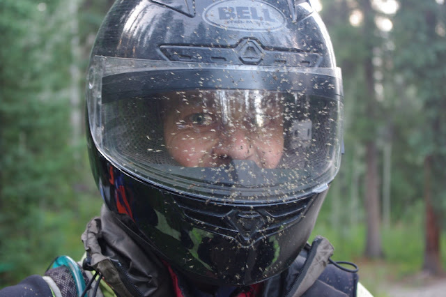
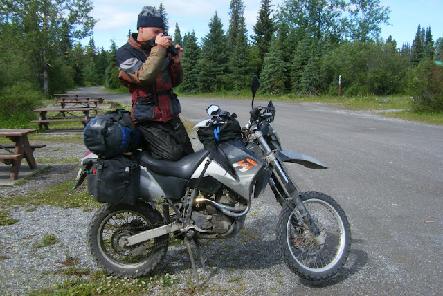
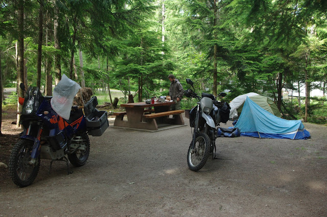
First Camp- note that I'm already changed into raingear. Didn't rain much, just enough to offer some foreshadowing of the rest of the trip.
Ever since I started really riding- 5 years ago or so, when I started riding up to washington state (and my hometown) every year, and other long-ish rides, I've been scheming with a longtime friend about riding to alaska. Ok, it wasn't actually scheming, it was fantasy. We'd see each other once or twice a year, and the conversation would go as follows.
Me: We should ride to Alaska this summer!
Him: Yeah! That would be cool!
A couple snags existed- he knew how to ride, but his only bike was a 50cc chinese scooter. He has a 1 year old son now, too. And I don't think he had ever done a ride over 100 miles long. Just little things, they didn't get in our way.
So this last winter, when we had our normal Alaska conversation, I mentioned that I had two motorcycles at the moment: my trusty KTM 950 adventure, and a KTM 640 enduro that I had just rebuilt, and not put very many miles on. He quickly figured out that he could spare 2-3 weeks that summer, and the wheels were set in motion.
In June, I rode my 640 up to Washington, leaving Rusty a month to get used to it.
That was about the longest ride I had taken the 640 on, and it did great- comfortable, fairly fast, and it got 55mpg.
I left Rusty a packing list and flew home. He didn't have a ton of time to ride in the intervening month, but he got in a 300 mile ride and some other shorter rides, and bought new tires and brake pads.
So on July 8-9th, I rode up to Washington, changed my oil, helped Rusty change tires and brakepads, sorted our gear, and got ready to ride to Alaska.
July 10:
(Milo, on the far left, was originally going to come-- however, after only 50 miles, it was decided that his machinery was just not up to snuff for highway speeds, and furthermore, the drivers license he had shown us was just a Kix proof of purchase. He was sent home.)
Our route for the day, Leavenworth WA to Mabel lake, park, BC.
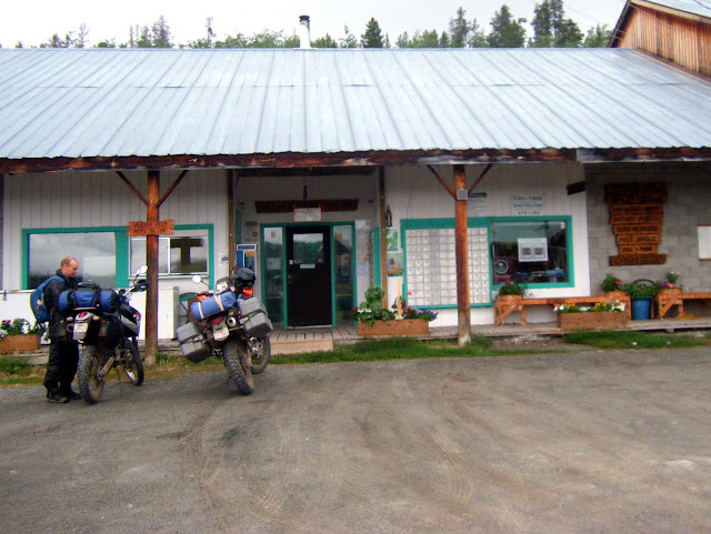
Customs at Osoyoos, where it was hot and dry- the last we'd have of that for a while:
The Summerland-Kelowna area is really nice- kind of the napa valley of Canada, lots of grapes and fruit trees, and lots of people around enjoying the sunshine and the lakes. Not that I took any pictures of that, I just thought you should know.
On the gravel, heading out to Mabel Lake Provincial Park:
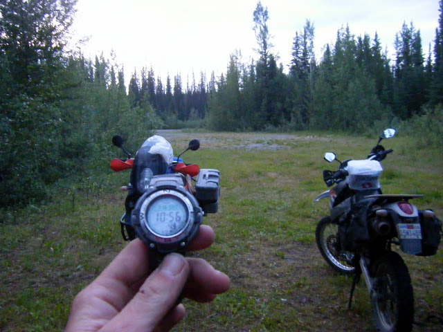
First Camp- note that I'm already changed into raingear. Didn't rain much, just enough to offer some foreshadowing of the rest of the trip.